MAGEHORN
- Ascent: 865 hm
- Descent: 865 hm
- Ski Tour
- Distance: 3.5 km
- Duration: 3:30 h
- Intermediate
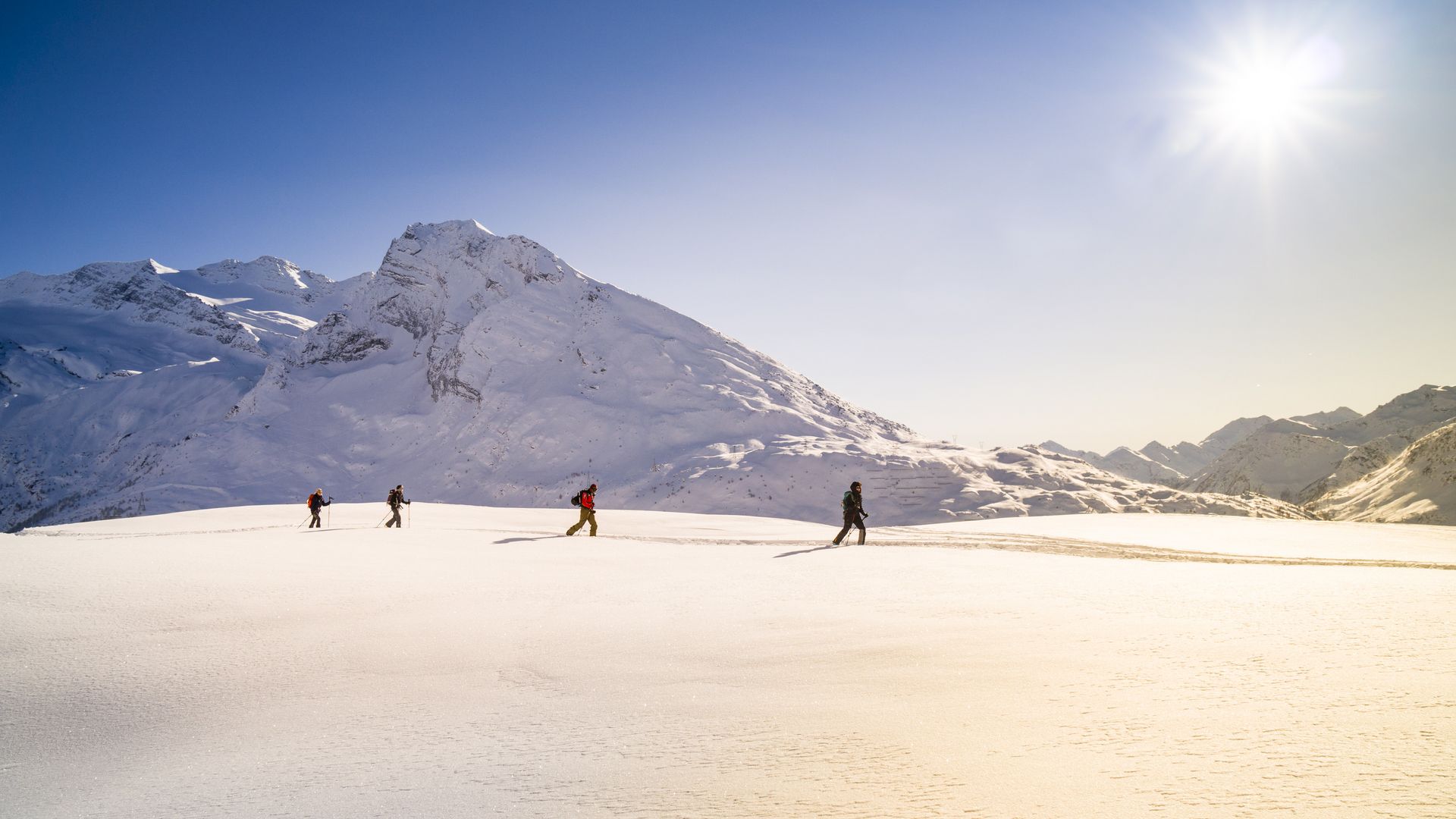
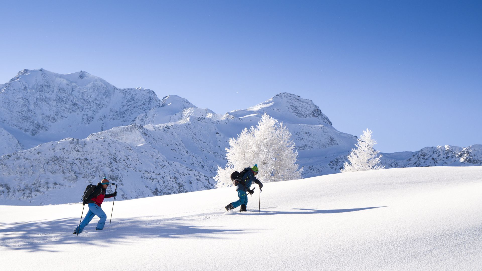
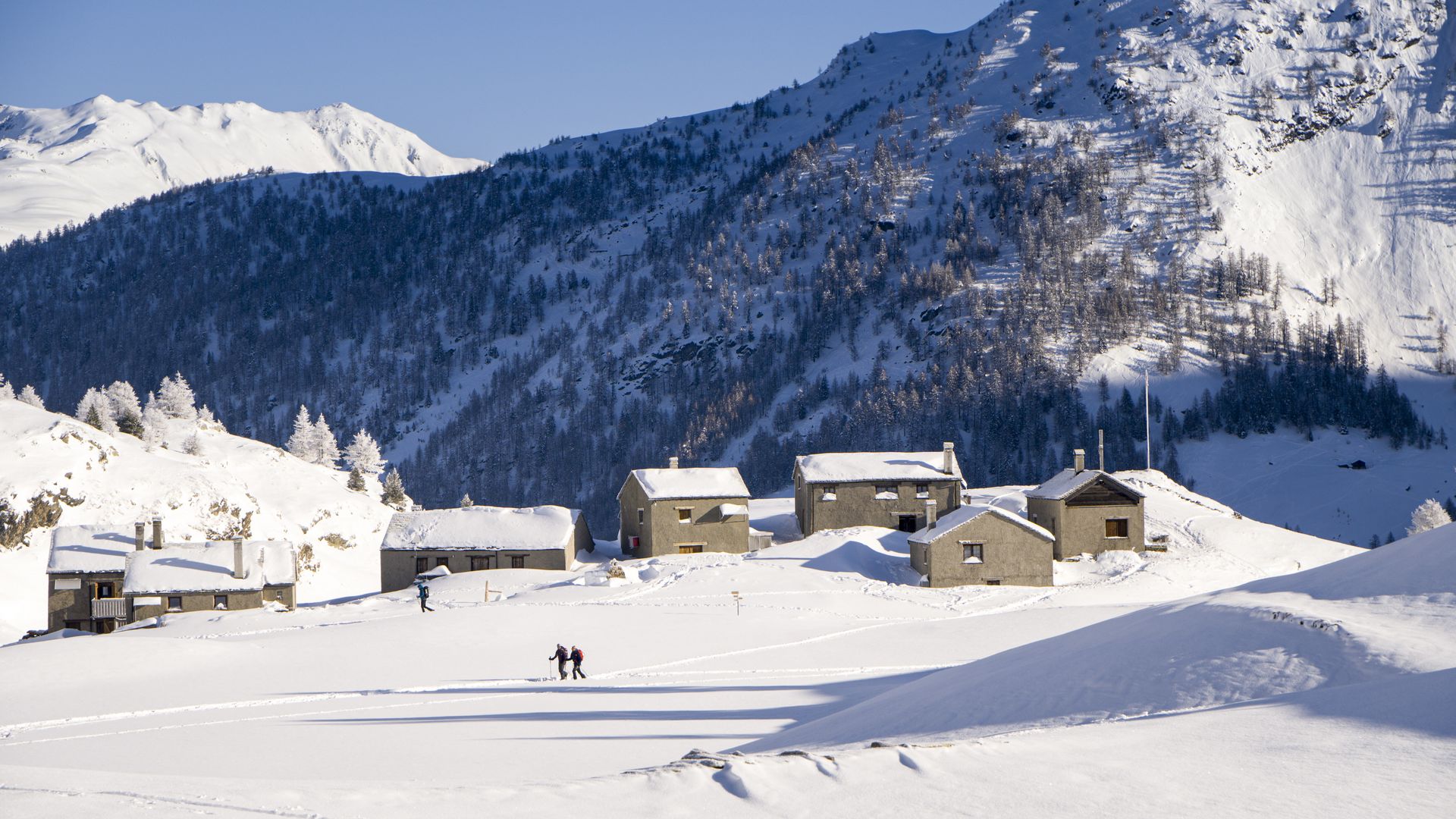
Engeloch – Starting at the Engiloch Restaurant (or the car park to the north of it), drive west over the bridge at Chluismatta and cross the Alpstafel and the Ritzibach creek to the northwest. After the Ritzibach, you ascend the wooded ridge to the west. Then turn right (north), cross under the Hotosse and continue to the upper end of the Marchgraben. At the foot of the northern flank of the Galehorn, continue to the Magelicka at 2,439 m. From there climb the southern flank to the summit.
Engeloch – The descent is via the ascent route. This may vary depending on the risk assessment.
The QR-Code is located at the summit of the Magehorn on a big boulder. The code may need to be cleared of snow.